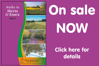
News from BSDFA
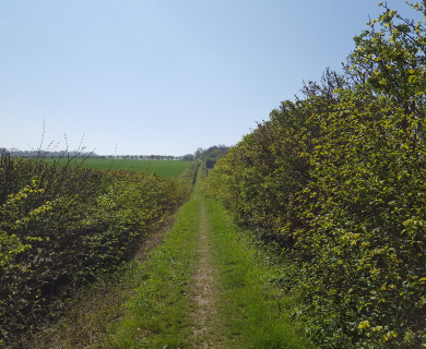
SUNDAY WALKS: all Leaving at 10.00am 5/6 miles
We recommence:
03 Sep 2017 Stanstead Abbotts Car Park (entrance is off the main street) GridRef: TL384119. Postcode SG12 8AG
17 Sep 2017 Hatfield Heath Car Park – Behind the Chip Shop GridRef: TL524150. Postcode CM22 7EB
01 Oct 2017 CHECK THE WEBSITE – details will go up as soon as soon as they come in – Leader is on Hols-Sorry!!!
15 Oct 2017 Manuden Church – park on the roadside GridRef: TL491266. Postcode CM23 1DF
Hello Everyone.
Well I appear to be a one-person-accident-zone. Quite a problem when you are a Walker. So, all apologies for my being missing out on many of the walks this year.
This month, I have decided to respond to some general enquiries about Public Footpaths, Bridleways, and other tracks., These are termed Public Rights of Way (PROWs) and they are identified on/in the appropriate local Ordnance Survey Map for the area in which you want to walk. In addition. the Definitive PROW maps have to be kept and maintained by the relevant Local Highways Authority, and indeed, many Authorities have an Interactive map of PROWs on their websites. Each Highways Authority is responsible for ensuring the maintenance of PROWS in their area. However, not a lot of finance is set aside for this!
The actual LAND under a PROW is usually privately owned by, a farmer, private individual, company, charity, whatever, not normally by the Highways Authority. Footways and pavements alongside roads, are, usually owned by the Local Highway Authority, except where the road concerned has NOT been adopted by the Highways Authority.
Many of you will be aware that if reporting an issue in respect of a public footpath to your local Highway Authority, you will probably be asked for a reference number in order to identify it. Well, these numbers are not shown on Ordnance Survey (OS) maps, because each Parish has its own set of number for the Public paths within its boundaries each usually commencing with number 1. This can make life interesting, for example when walking along a continuous public footpath which crosses Parish boundaries, for instance, Public Footpath, no. 27, within Stansted Parish, becomes Footpath no. 5 when you cross into the Parish of Birchanger. A good thing is that on the Highway Authority Interactive Maps these numbers can actually be obtained.
In addition to Public Rights of Way, there are Concessionary Paths. The concession can be removed at any time and some of these paths are shown on OS maps some are not. Also, there are paths where members of the public have walked for years, but these have no status and are NOT Public Rights of Way and are therefore not identified on any maps. You could be requested not to walk along them by the land-owner.
Without an O/S map, general direction guidance is provided by ‘finger’ posts and way-markers, sometimes a post or a coloured disc, or combination of both. Yellow designates a public footpath; Blue refers to a public bridleway (which incidentally should be the width of a cart); Red is usually a Track Open to all Users, and includes 4×4’s; White usually defines Special Paths such as Millennium Walk, Acorn Way etc..
Oh what a tangled path we tread.
Daphne Wallace-Jarvis, Bishop’s Stortford and District Footpaths Association BSDFA
Publicity Officer: dwjjwj.444@gmail.com www.walksaroundstortford.org.uk