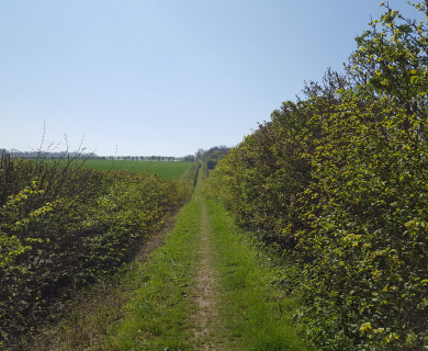
The BSN Consortium has shared maps of the walking and cycling network that it will be delivering in the eastern sector of the development. On the first map, I’ve highlighted the route of Bishop’s Stortford FP0002 – as we’ve noted in previous posts this footpath is subject to a Temporary Traffic Regulation Order and the through route is likely to remain closed for the foreseeable future. It broadly follows the original route, although through houses rather than fields, until it reaches the development’s northern perimeter where it will be officially diverted to avoid the planned estate eastern vehicular access point onto the bypass.
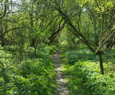
I’ve also highlighted on the main map the route of the Farnham Brook ‘Greenway’ – this yet to be constructed path will link to the pedestrian/cycle path that the Bishop’s Stortford Town Council is planning to construct through Sworders Field. On completion this will provide a safe off road route for walkers, wheelers and cyclists from BSN to the town centre via Grange Paddocks. At it’s northern end the ‘Greenway’ will connect with BS FP002 and provide access for walkers and cyclists to the extensive public rights of way network beyond the bypass.