Hello Everyone – Hope you have a lovely Christmas and a Good New Year
- OK, Now…. Stansted
Please PLEASE will any of you who regularly walk up/down the southern boundary of the Aubrey Buxton Nature Reserve contact me. THIS path is a field and IT IS NOT A PROW (Public Right of Way). The BSDFA would like to have it designated as one as part of our heritage because it an integral HEALTHY LIVING link and very well used MARVELOUS walk/meander from/to the centre of Stansted along Gall End, up along the southern edge of the Nature Reserve, back through the Nature Reserve to High Lane, or back via May Walk to the centre of Stansted…..WE NEED YOUR VOICE. PLEASE.
- And again, I need your voice….do you walk from Stortford to Stansted??……… Would you like to???? There used to be a TOWPATH from the River Stort to Stansted Mill. The river used to take barges along the River Stort to the Stansted Brook. Footpath (BS FP 28)/towpath still exists along the river Stort up to Gypsy Lane, where it ceases at the Stansted “Trout Bridge”, SO, to continue, one has to walk along the dangerous Gypsy Lane, and then cross the even more dangerous B1383, in order to join up with Stansted FP 25. This still exists and runs adjacent to Stansted Brook, up to Stoney Common and thence on into Stansted (and the world beyond). The missing “no go link,” is the 1/2 mile stretch between the River Stort at Gypsy Lane (Stansted Trout Bridge) to Stansted public footpath, FP 25, off Forest Hall Road Stansted. This is a highly dangerous section of no-go-road and land. If this last section could be “sorted” then it would reinstate the very prestigious HISTORIC LONG-DISTANCE Public Footpath from LONDON to STANSTED . The missing link from the river Stort to Stansted Brook is a matter of 1/2 mile. Please tell me………
- Finally and again in Stansted, would you like to see a “concessionary path” link from High Lane to the Aubrey Buxton Nature Reserve?
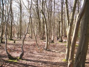
See you at the Next Walk…….Photograph – Courtesy of Peter Sherlock – Winter hornbeam.


