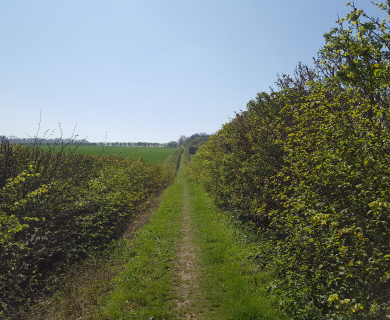
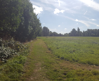
The Hertfordshire Way has always been a well marked route along its 191.2 mile length. Waymarks on HCC wayposts have led walkers along each of its 16 legs and are supported by detailed instructions in a guidebook published by The Friends of The Hertfordshire Way.
Now, to assist the walker even more and to mark the 25th anniversary of The Hertfordshire Way, The Friends have produced a set of digital (gpx) files which will run on a smartphone to show the walker his/her position on the route every step of the way. The digital files can be downloaded onto apps such as OS Maps and the free apps ViewRanger, Outdooractive, Garmin and Alltrails
Full details of the digital files and how to use them can be found on the society’s website at
https://www.fhw.org.uk/
Copies of the guidebook can be ordered from https://www.fhw.org.uk/copy-of-guidebook-1
Membership details can be found at https://www.fhw.org.uk/about-us