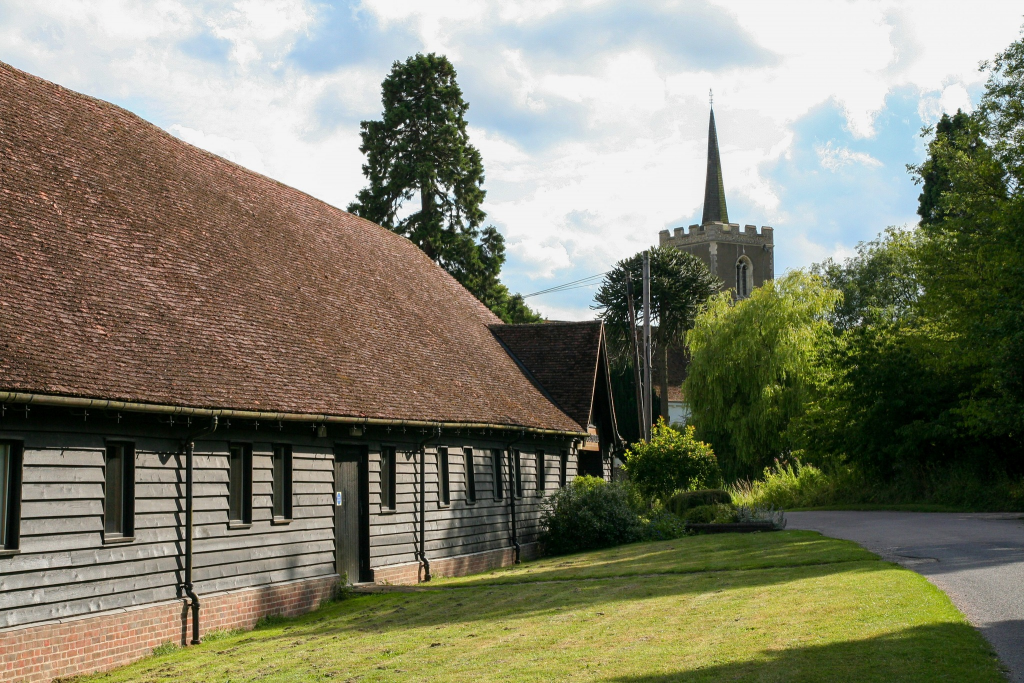
We’ve been contacted by several people enquiring about the purpose of the notices that have recently appeared in Thorley Parish.
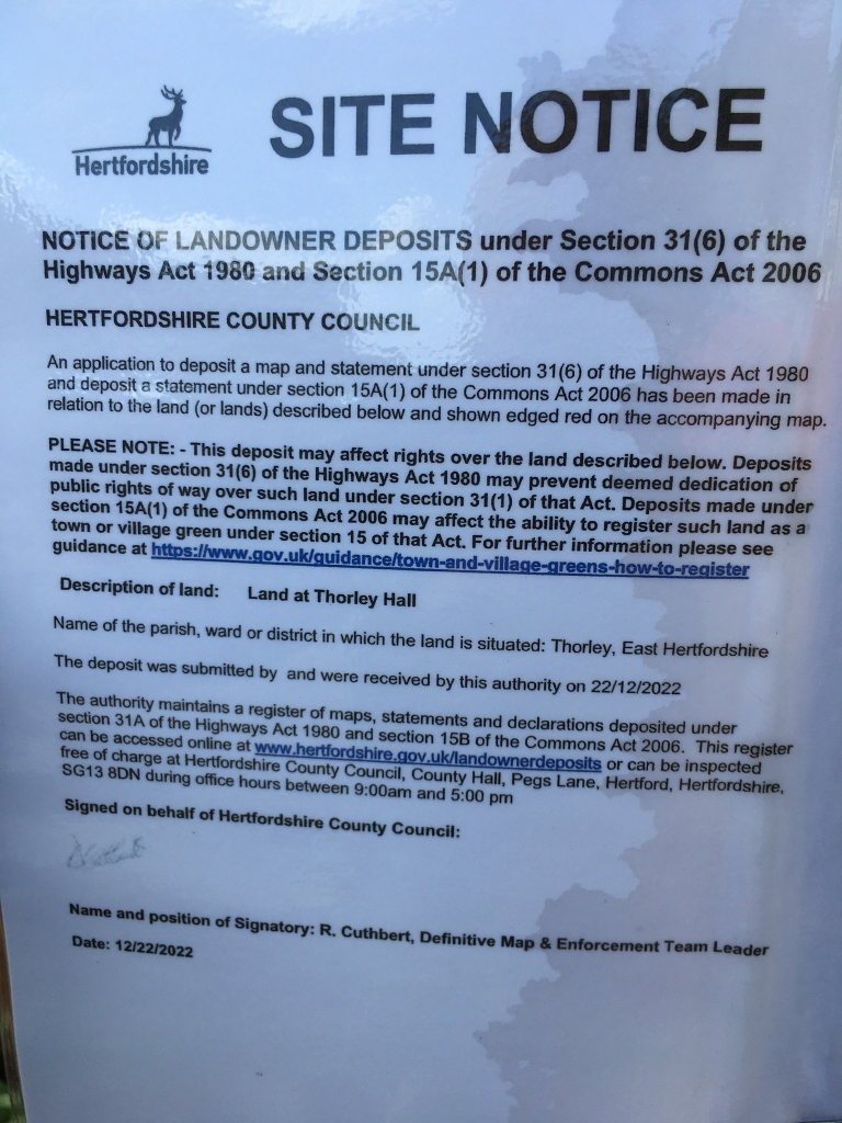
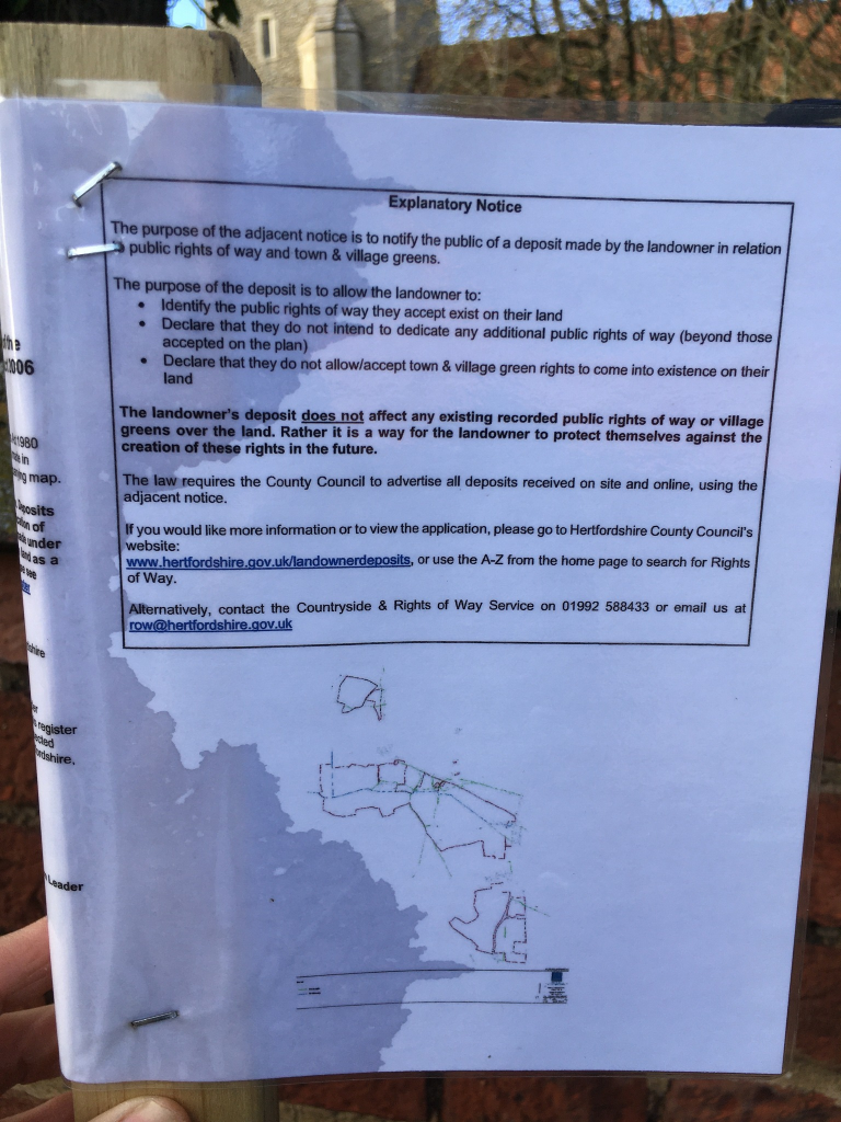
The notices (see photos) state that:
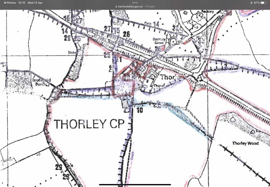
“An application to deposit a map and statement under section 31(6) of the Highways Act 1980 and deposit a statement under section 15A(1) of the Commons Act 2006 has been made in relation to the land (or lands) described below and shown edged red on the accompanying map.”
The purpose of the application is to enable the landowner to acknowledge any paths on their land that have been dedicated as a public highway and to indicate what type of paths (footpath, bridleway, byway, restricted byway) they are and show on a map where on their land they are located. The landowner may then within 20 years of the statement lodge a highways declaration that confirms that they did not dedicate any additional paths over the land, only those mentioned in the declaration. By completing both steps the landowner confirms their intention not to dedicate any additional paths. Declarations do not affect anything which took place prior to the deposit of a statement.
What the landowner is doing here is protecting themselves from a path being recorded on the ‘definitive map’ on the basis of “presumed dedication”. This means that if the public has used land as a path without force, secrecy or permission for 20 years and the landowner did not interrupt that use, it could give rise to the presumption that the land is highway. This is the route that the Parsonage Residents Association is currently taking to register a local ‘lost’ path that links Parsonage Lane to the Stansted Road (see our post dated 24 March for more details).
The ‘definitive map’, together with the definitive statements, is a legal record of public rights of way in Hertfordshire.


