Start: Albury Village Hall, Clapgate, Albury.
Coming from Little Hadham the Albury Village Hall is signposted to the left shortly after entering the village. There is a good sized car park.
OS Map ref: TL443248
Distance: 4 miles.
Surfaces: Roads, tracks, field edge and cross field paths.
Obstacles: Some steep slopes and muddy patches.
Map: Route is clockwise.
Start across the grass to the right of the Village Hall and follow the fence to the right by the river Ash. At the road turn left over the bridge and go up the road until you reach the gate to St. Mary’s Church. Go through the churchyard to the far side behind the church tower to a metal kissing gate and on to a path which soon reaches a cross field section. A waymark post is clearly visible ahead at the corner of a wood. From there a track goes straight ahead for about half a mile, undulating past woods and copses with views opening up across the Ash valley.
At the end of a wood on your right you come to a crossroads of tracks where you turn right. There is a waymark post here but some of the arrows are missing. Follow the track down with the wood on your right, over the River Ash and on up to a road. Turn right onto the road and follow it down for about 100 yards, being alert for traffic.
At the Catherine Wheel pub turn left up to Patmore Heath. This is a nature reserve looked after by the Wildlife Trust and is worth exploring – you will find an information board and welcome seats. Bear half right across the heath and find the footpath sign to the right of the high brick wall round The Hunting Box.
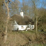
This points down a little lane which soon turns into a stony track leading down to a muddy patch, over a stream and up past a cottage in the trees to a lane This area is regularly patrolled by a pair of buzzards and as they tend to sidle up to within 40 yards of walkers to check them over, you can also get a good view of them.
At this lane you have a choice. If you want to avoid any more muddy stuff you can follow this lane to the right and it will take you straight back to the village hall.
For those wishing to carry on with the walk turn right onto the lane and after a few paces turn half left up a track with a ditch on the left. About 100 yards up this track you come to a junction. Our route carries straight on, but as this is wild daffodil country you might like to take a 200 yard diversion to the left to Bogs Wood which will be carpeted with wild daffodils in the early spring. Some shoots may appear at the end of January or if they bloom really late then you may see daffodils and bluebells flowering together.
Back to our route where you carry straight on at the junction, following the muddy track up the slope with the hedge on your left. Over the rise the surface improves and you follow the track past a conifer plantation and then down and up along a raised cross-field path, down and up again past a spinney on the right.
40 yards past the spinney turn right following a path with a post and rail fence on the left and horse jumps on the right. At the far end of the fences veer left to where the path enters the wood and then winds steeply down through the trees. At the bottom the path emerges on to a meadow. Bear half right and follow the visible path to the far corner, but if there is any equestrian activity it would probably be best to go round the edge of the field. In the far corner you cross a footbridge to the road. Turn right and after 50 yards turn left at the footpath sign and the village hall is in sight ahead.



Dear Sir / Madam
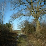
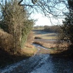
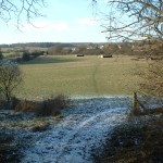
I tried to follow Route 3 yesterday but the path was rather overgrown and was hard to follow. Unfortunately wearing shorts the stinging nettles took their toll.
I have also taken some pictures and can forward them if you could advise me if an email address.
Yours sincerely
Ian Watson