
This walk starts near the centre of Bishop’s Stortford but takes you out of town along the River Stort with its locks and weirs and then into countryside with open views across the stort Valley:
Start: Rhodes Art Centre and Museum, South Road, Bishop’s Stortford. OS map ref: TL491205. Click HERE for a map of the start.
Distance: Approx 4 miles. Allow 2 hours.
Surface: Roads, tracks, towpath, good field paths.
Obstacles: No stiles. Can be a bit slippery after rain. One squidgy patch in wet periods. Railway level crossing. Main road to cross.
Walk Map Printable version

Riverside Path
A gate leads onto Southmill Road from the east side of the gardens and car park at the Rhodes Centre. Cross the road and go between the old maltings buildings to the white painted footbridge over the River Stort. Cross over the bridge and turn right on the towpath which you will follow for about 2 miles.
You soon come to the London Road bridge where you turn right on to the road for 50 yards and then cross over to rejoin the towpath. The next feature is the Black Bridge taking the railway over the river and shortly after you come to the weir and Southmill Lock. Cross over the footbridge at the far end of the lock. The old lock-keeper’s cottage is on the right and the canoe club building on the left.

Twyford Mill Lock
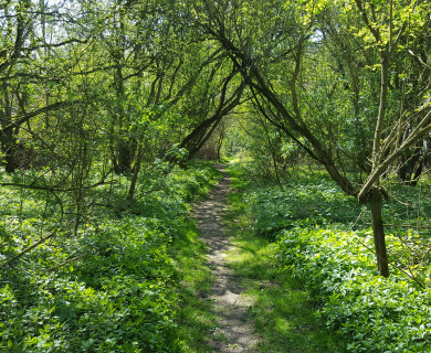
A couple of hundred yards further on the Rushey Meads Nature Reserve is on the left with lots to interest the naturalists. On the other bank among the trees are fishing lakes created from old gravel pits. After several bends you come to Twyford Mill Lock. Cross the road and pick up the towpath again a few yards to the left. You soon pass a footbridge acroos the river which is known as the Roly Croke and it leads up to Thorley. Stay on the towpath where you will see evidence of the current British Waterways tree management works.This is necessary work to preserve the towpath and it maintains the open vistas along the river.

River View
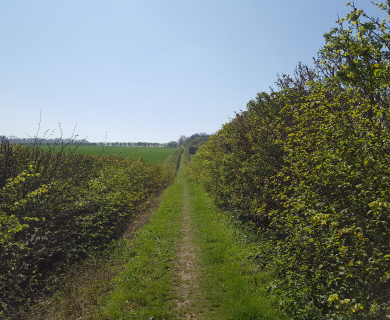
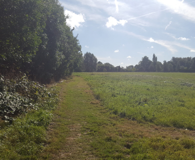
After about half a mile you reach a bridge with brick supports and white painted upperwork. The path over the bridge leads to Thorley Wash through the marshes, but you turn left here, leaving the towpath and descending to a marshy patch and then up a slope bordering a garden fence. A few yards further on the path turns left into a field and you follow the field-edge path to the mound and trees on the horizon. Behind the hedge on the right for the first 100 yards or so you can see the ancient earth bank which was part of the perimeter of Wallbury Camp, said to be an old Viking settlement. This path gives good views across the river valley towards Thorley Church and when checking the route here in February two buzzards were circling low overhead. At the far end of the field you pass a mound and a rubble tip to reach a track where you turn right past the gate and go up the hill for 60 yards to a waymark where you turn left on to a broad cross-field path. Here you are on the edge of Latchmore Bank and can take in far-reaching views over Twyford and Bishop’s Stortford.

Cottage and gardens on the footpath
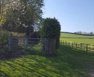
Go downhill to double gates in front of a cottage. Go through the gates, across the grass and carry straight on over the lawn close to the house to reach a footbridge over the brook, enjoying the wonderful display of crocuses under the trees. The path leads across a paddock to Pig Lane by Twyford Mill Lock which you passed earlier. Turn left along the lane past the converted mill buildings and Twyford House on the left and a few yards further on turn right at the footpath signpost up a short track. Turn left at the metal gate and follow the well-defined path across the field to emerge on to a lane at the far corner. This is Twyford road which you follow to the right, over the level crossing, and it is obvious that you have entered the industrial area which is the modern version of the old timber yards and maltings which once lined the river right into the heart of the town.
Keep going to the main London Road where you turn right for 100yards or so to reach the river bridge and retrace your steps along the towpath back to the start.

Thanks for this webpage and also for providing a downloadable map. I hope that you will not find the further comments too negative. Many online maps are not too brilliant once printed out (not everybody has a good printer). Is it possible that you could please publish a collection of somewhat larger maps in paper, and any new versions of your older published books of walks? to be available in local bookshops and stationers?
Very many thanks. PS is there a new railway footbridge for people to cross when accessing the river Stort from Thorley Wash?
Thank you for taking the time to post a comment and please accept my apologies for the late response.
We don’t have any larger paper maps available and would recommend that you purchase an Ordnance Survey map – for our local area I would recommend The Explorer Series which is available from the local tourist office and Waterstones. Our most recent walks booklet is also available from the Bishop’s Stortford tourist office at £6 but I do have a limited supply of two of our older booklets (Series 2 and 3) which I could supply at £2.50 each. If you are interested then let me know and I can arrange to deliver them to you locally.
I’m not aware of any plans for a footbridge over the railway at Thorley Wash. One has recently been opened further north, a couple of hundred metres to the south of Pig Lane and leads to the narrow pedestrian bridge over the River Stort. We are always vigilant when it comes to rail crossing as Network Rail has been seeking to close many of them nationally due to safety concerns.
Best regards,
Dave Webber – Chair