
This is a short walk in lovely, peaceful countryside. If the proposed second runway at Stansted Airport had gone ahead this area would have been directly in line with and only about two miles from the end of the runway, but thankfully this threat has gone away for the present. Tilty church was once the gate chapel to St. Mary’s Abbey and in the porch you will see a pictorial plan of the abbey buildings and the surrounding landscape and we recommend that you look at this before setting off on the walk.
Start: Parking area behind Tilty Church. OS Map Ref; TL600265. Update January 2022: This parking area is currently closed. There is an alternative that will probably accommodate a couple of cars on the bend where the route first leaves the road beside the line of wych elm trees, grid reference is TL594266
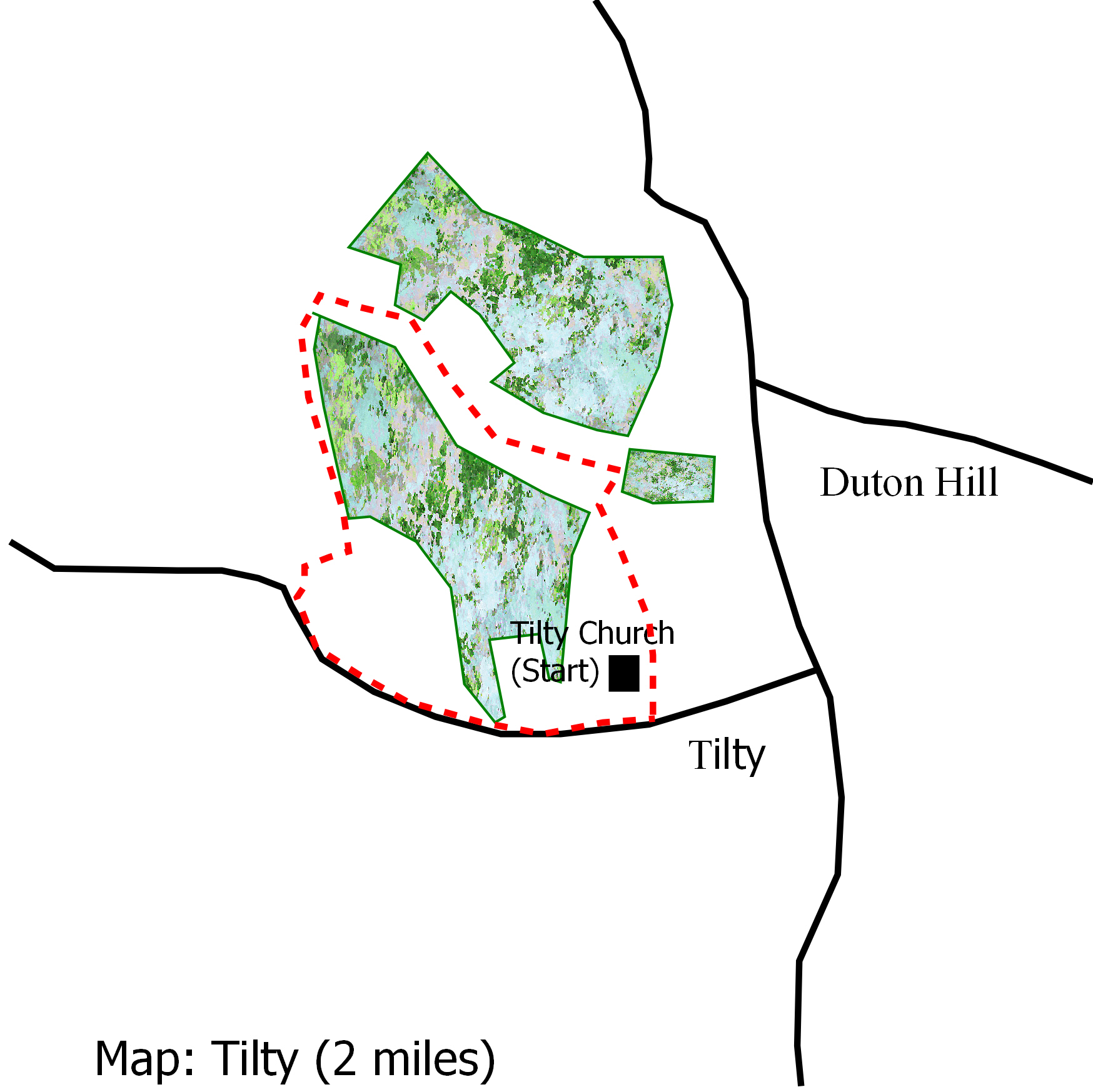
For a map of the start, click HERE
Distance: Less than 2 miles.
Surface: Country lane and good grass paths.
Obstacles: 3 stiles
Map Printable version

Tilty Church
Starting from the churchyard gate go back along the access road with views across the valley to Great Easton and turn right up the country lane. Follow the lane for about half a mile going past the Grange and Abbey Barns.
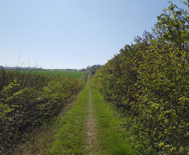
Where the lane turns sharp left go over the stile on the right next to the wooden gate. The large trees here are wych elms and the view facing you from the stile is towards Duton Hill. Turn left and follow the track which bears right and then left to reach another stile by a metal gate. Go over this and follow the hedge down the mown field. Through the bushes a few yards down this hedge you will be able to see the burrows of a badger set in the ancient woodbank.

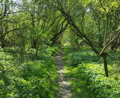
Lush Meadows
At the bottom of the field go over the stile. A few yards to the left is a world war II concrete pill box which was part of the defensive line through this area. Go over a bridge and turn right to follow the path along the stream through meadows rich with wild flowers. You will come to a concrete bridge beyond which a waymark post indicates footpaths to the right and straight ahead. The path to the right will follow the leat which took water to the watermill further on, but this path is often overgrown and the leat is mainly dry, so you go straight ahead.
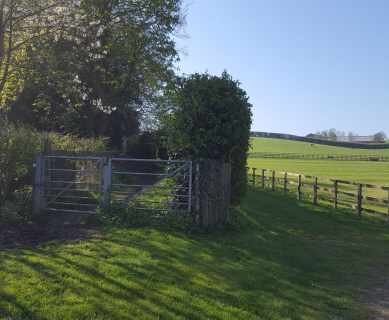
At the hedge at the end of the field turn right through the metal gate. You will pass a pill box on the right hidden in an old cart shed. Soon after there is a waymark post on the right where the path following the leat emerges. If you go a yard or two up this path you will be able to glimpse the old waterwheel in the derelict mill.

Abbey ruins
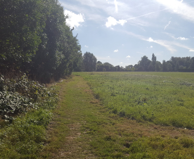
Back to the path and a few yards further on towards the cream house go through the wooden gate on the left and follow the path up the field towards the church at the top. The section of ruined wall over to the left is all that remains of the old abbey.
